ideaForge Q6 V2 GEO: Enterprise Mapping Drone Review
What Is the ideaForge Q6 V2 GEO and Why Does It Matter?
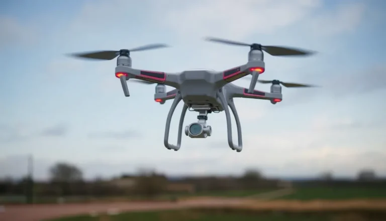
The ideaForge Q6 V2 GEO is a professionally engineered enterprise UAV that has recently earned DGCA Type Certification under India’s Drone Rules, 2021, placing it firmly in the Small category for unmanned aerial vehicles. This certification is a meaningful milestone, as it validates the platform’s readiness for serious commercial and government deployments across a wide range of industries.
For organizations evaluating a capable GPS Drone for large-scale operations, this certification signals compliance, reliability, and regulatory trust. ideaForge, widely recognized as India’s leading UAV technology company, developed the Q6 V2 GEO to meet growing demand from sectors including infrastructure development, mining, urban planning, agriculture, environmental monitoring, and disaster response.
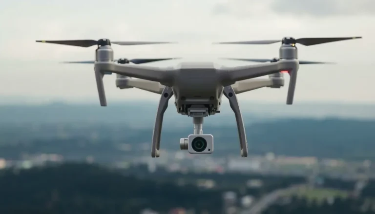
Unveiled at PRAGYA 2025 as part of ideaForge’s broader geospatial technology vision, the drone is engineered for multi-sensor aerial data acquisition rather than simple aerial photography. With support for five distinct payload configurations — including LiDAR and high-resolution photogrammetry — it goes well beyond what a standard 4K Drone typically offers. If your organization needs actionable, certified geospatial data from a drone platform you can trust in challenging environments, the Q6 V2 GEO deserves a close look.
Key Features, Payload Options, and Flight Performance
One of the standout strengths of the Q6 V2 GEO is its impressive versatility in payload configurations. Users can choose from LiDAR-only, LiDAR combined with RGB imaging, high-resolution photogrammetry, 3D oblique imaging, and dual day-and-night payload setups. This flexibility makes it far more adaptable than a typical 4K camera drone, catering to specialized workflows that demand precise, multi-layered data outputs.
Practical applications supported by this platform include terrain modelling, corridor mapping, volumetric analysis, infrastructure inspection, perimeter surveillance, river basin conservation, glacier and avalanche mapping, heritage documentation, and rural land digitisation. That is a remarkably broad operational scope for a single drone platform.
In terms of endurance, the Q6 V2 GEO offers over 45 minutes of flight time, which is competitive for enterprise-grade UAVs in its weight class. This extended flight window makes it genuinely practical for survey missions covering large or difficult terrain without frequent battery swaps.
The platform integrates with ideaForge’s BlueFire Touch ground control system, which supports terrain-adaptive mission planning and the coordination of multiple UAVs simultaneously. For teams managing complex survey campaigns, this level of ground-side control is a significant operational advantage worth factoring into any purchasing decision.
Cloud Integration, Use Cases, and Overall Verdict
What elevates the Q6 V2 GEO beyond a standalone GPS Drone is its tight integration with ideaForge’s FLYGHT CLOUD platform. This cloud-based solution handles everything from video analysis and mission data management to the generation of orthomosaics, point clouds, NDVI layers, and full 3D terrain models. The result is a genuinely end-to-end workflow that carries mission data all the way from initial flight planning through to certified, processed data outputs — a feature set that enterprise and government clients will find highly compelling.
For industries such as forestry, utilities, and disaster response, where timely and accurate geospatial intelligence can directly impact decision-making, this integrated stack offers real operational value. The combination of advanced sensors and cloud processing reduces dependency on third-party software and simplifies what can otherwise be a fragmented post-flight workflow.
Overall, the Q6 V2 GEO is a well-rounded, professionally oriented platform that stands out in a crowded market. It is not aimed at hobbyists or those simply looking for a consumer-grade 4K camera drone. Rather, it is built for organizations that require certified, high-quality aerial data at scale. With DGCA approval now confirmed, ideaForge has further solidified its position at the forefront of India’s enterprise drone industry.
We are a participant in the Amazon Services LLC Associates Program, an affiliate advertising program designed to provide a means for sites to earn advertising fees by advertising and linking to Amazon.com. As an Amazon Associate I earn from qualifying purchases. We also participate in other affiliate programs.